Burn more acres
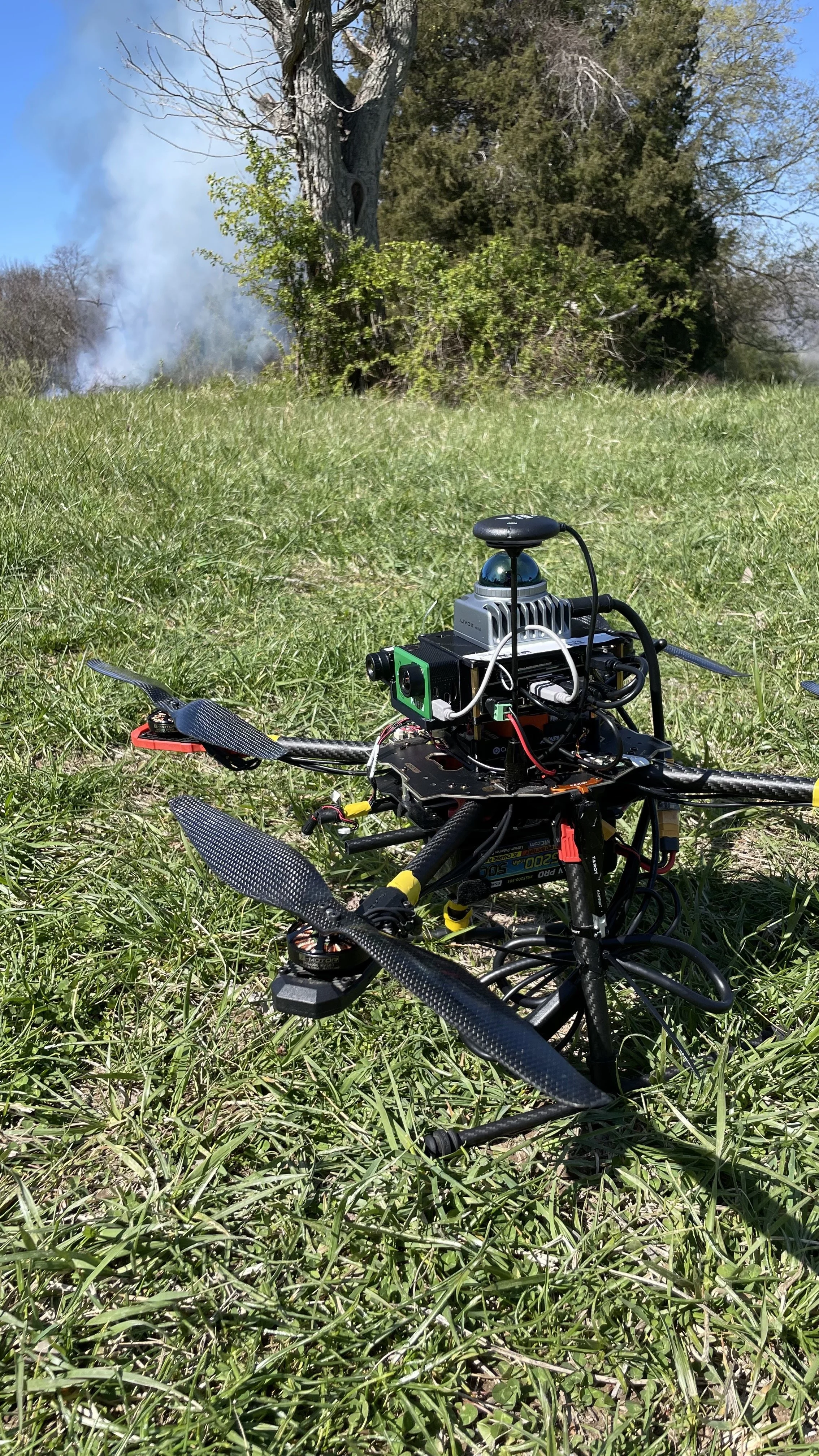
We have a backlog of land in need of prescribed fire. California and the US Forest Service each have a goal of 4X their annual burn acres, and many land managers have similar goals. Aerial monitoring provides crucial real-time awareness to enable large-scale burns with downsized risk.
Reduce your liability exposure
The best protection against liability is risk prevention. We support the burn boss through real-time situational awareness to track flame front rate of spread, search out spot fires, and ensure total mop-up post-fire.
Track dynamic conditions
Weather can go out of prescription without notice. We monitor conditions continually to ensure the burn boss has the most up-to-date weather conditions.


